The Celebration of Walking really got into its stride today….I’m feeling really confident about my ankle – I can walk quite fast (I even ran for the bus the other day…) and do quite a few miles, without worrying about hurting it. I still feel tired when I get home, more tired than I used to before the accident, it seems, but I must remember to take into account the months and months I spent doing not a lot, and how much I’ve improved.
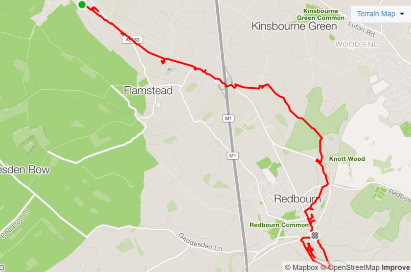
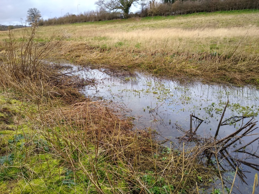
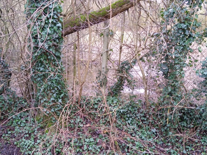
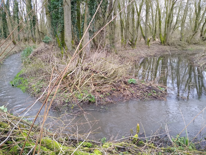
But, as well as me making progress, so is the River Ver! It’s grown in girth and volume until now, south of Redbourn, it’s worthy of being called a river. Here’s the place I stopped last week (in the sunshine) and where this week’s section began (no sun):

")
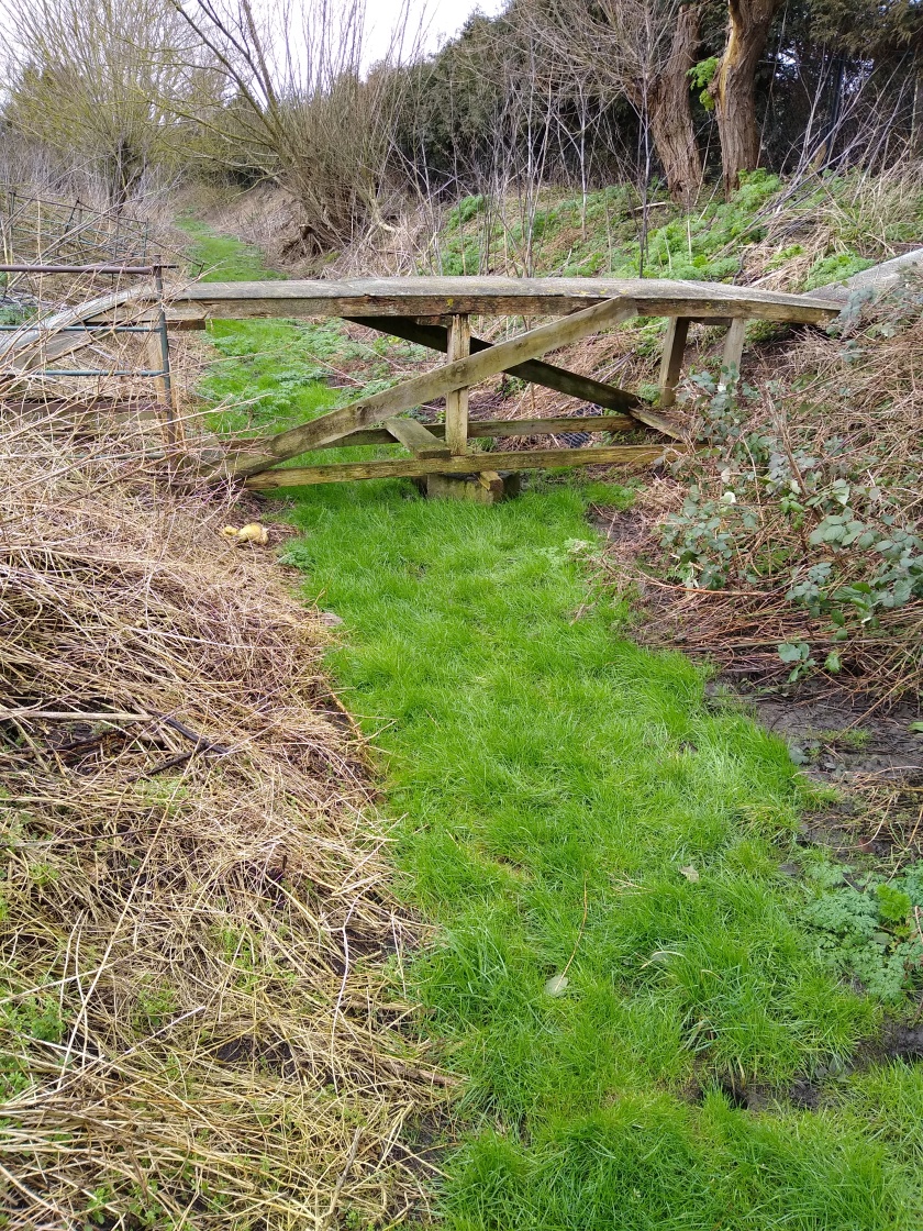
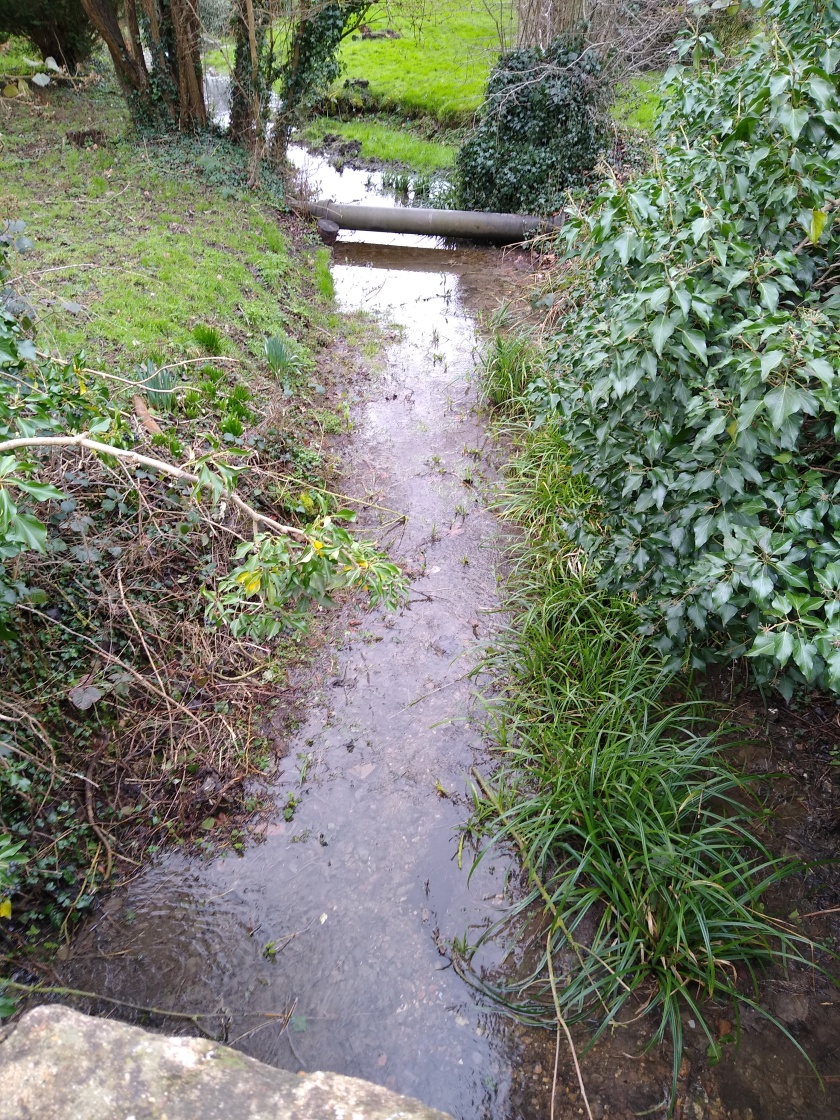
For a while the footpath was a little way away from the river but at Redbournbury Mill they coincided:
")
")
At the mill I couldn’t believe my luck – it was Friday so the bakery was open! They mill their own flour and bake their own bread….and cakes….could not resist an Eccles cake….deelish….
")
")
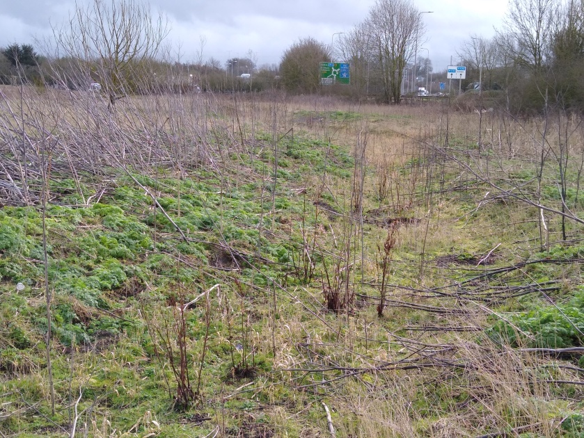
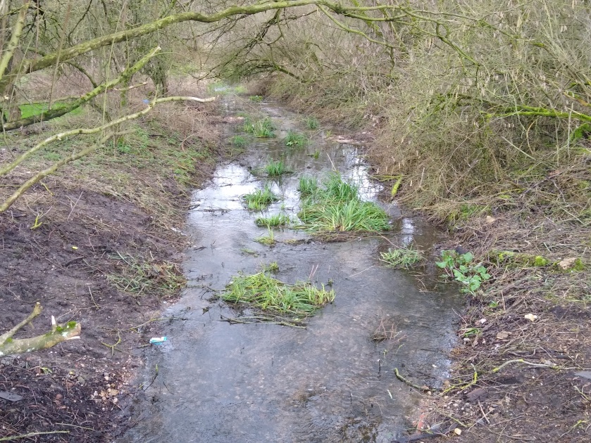
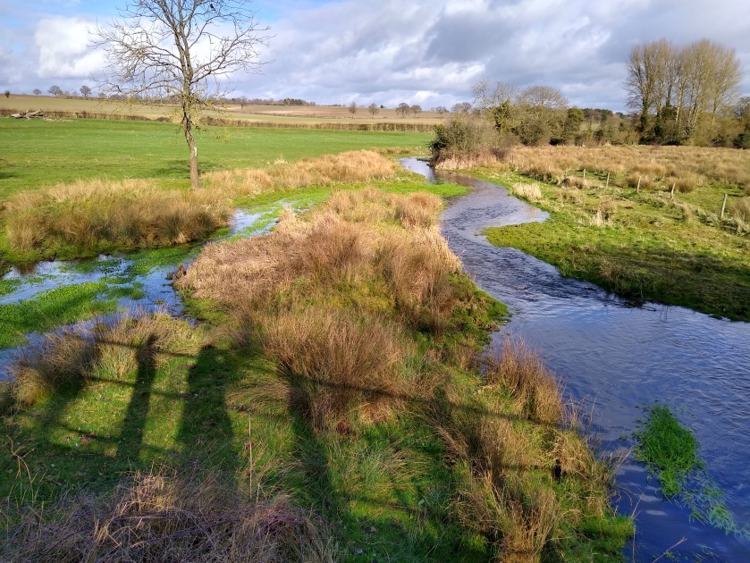
The next stretch is through beautiful water meadows and the river is an absolute delight. It was around this area that I saw several Lapwing close to the water’s edge.
")
")
")
")
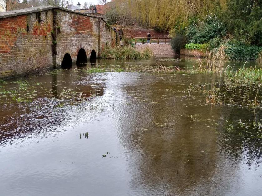
I stopped for a coffee and a pleasant birdy chat with John Pritchard the chair of the Ver Valley Society, then onward along a stretch of the main road, with tantalising glimpses of the river in the grounds of the Pre Hotel. Upon reaching St Albans the river started to get the recognition it deserves:
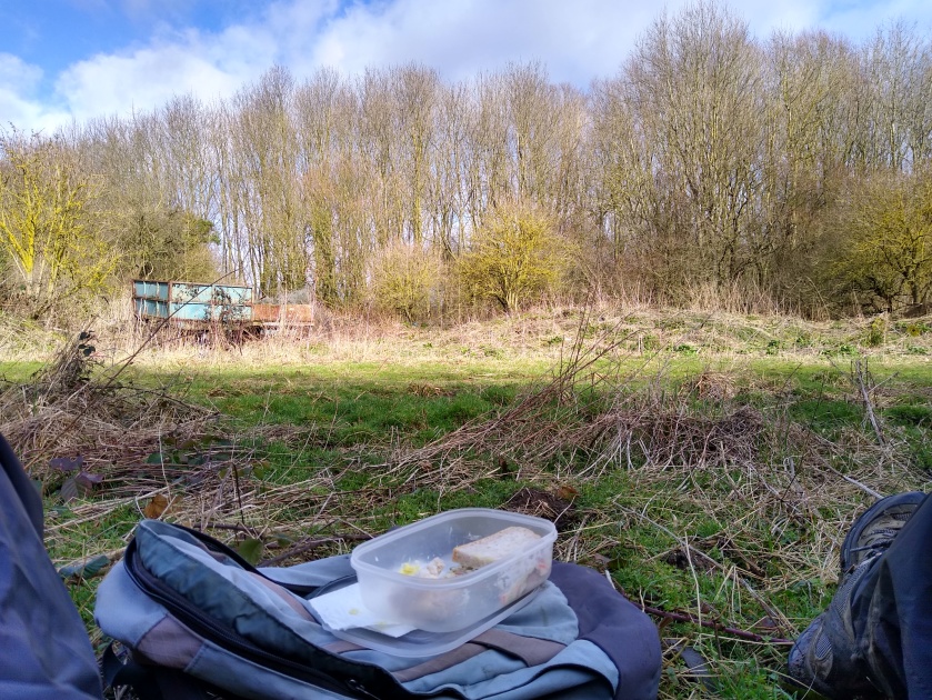
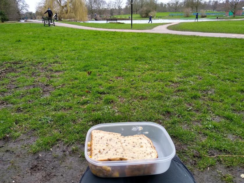
I sat in Verulam Park and ate my lunch – sandwiches of back-of-the-cupboard tuna and sweetcorn with mayo….
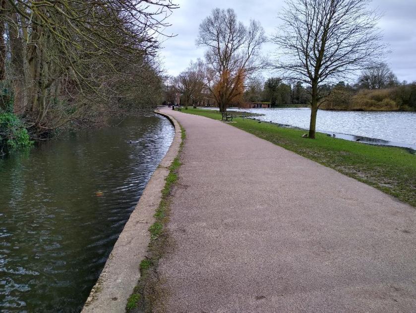
The river runs alongside the lake here:
I went a short way further then, after seeing 2 of my favourite things (allotments and river) in close proximity ….
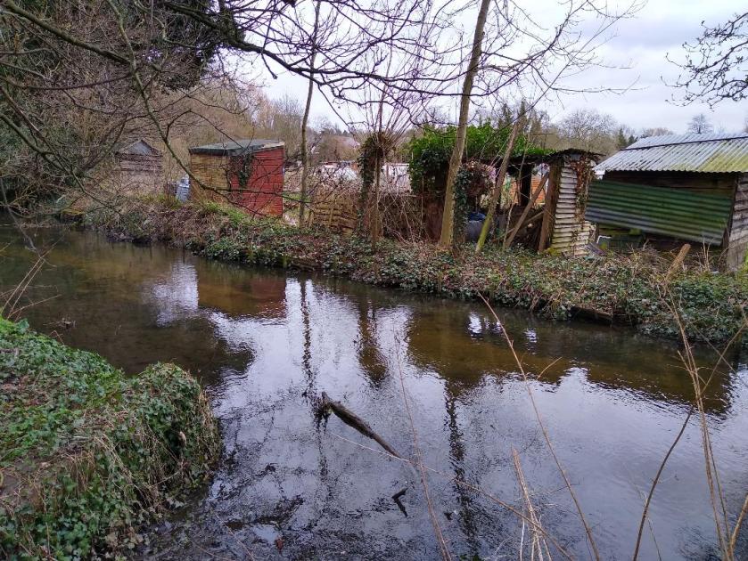
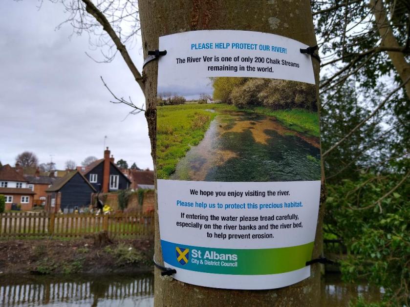
…I decided to call it a day. Just as I was leaving I saw this notice…
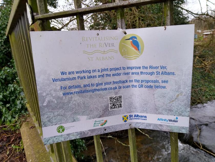
Hmmm – something to investigate!
This was a short section to walk – only 7.6 miles, including a bit of shopping in St Albans. I caught the 34 bus back from St Peter’s Street with my backpack heavy with library books, and dry food (no plastic!) from the Refill Pantry. Feeling very pleased that I was having a relaxing journey home with no worries about traffic or parking.
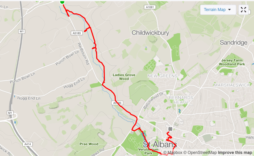
Here’s the route:
As always, more photos on my Strava page https://www.strava.com/activities/3119216932
I remembered to take my binoculars this time, and managed to see 34 species – not bad for not particularly brilliant bird-watching conditions. I’ll rattle them off incase anyone’s interested:
Canada Goose, Mute Swan, Gadwall, Mallard, Teal, Pheasant, Grey Heron, Little Egret, Red Kite, Buzzard, Moorhen, Coot, Lapwing, Black-Headed Gull, Lesser Black-Backed Gull, Rock Dove, Woodpigeon, Magpie, Jackdaw, Carrion Crow, Blue Tit, Great Tit, Skylark, Long-Tailed Tit, Goldcrest, Wren, Blackbird, Song Thrush, Robin, Dunnock, Chaffinch, Greenfinch plus Shoveler and Pochard on Verulam Lake.
I used the Birdtrack App for the first time – I imagine all my sightings go direct to the Birdtrack database at the BTO so it’s of some scientific benefit as well as for my own interest.
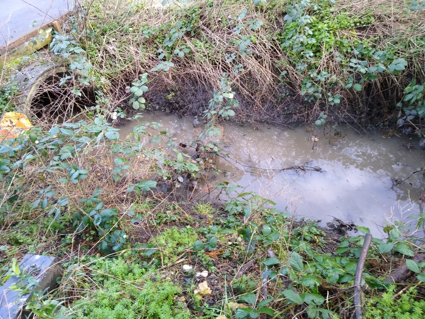
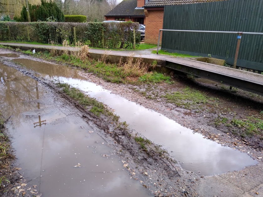
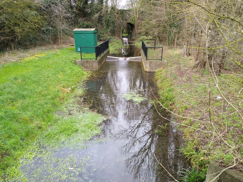
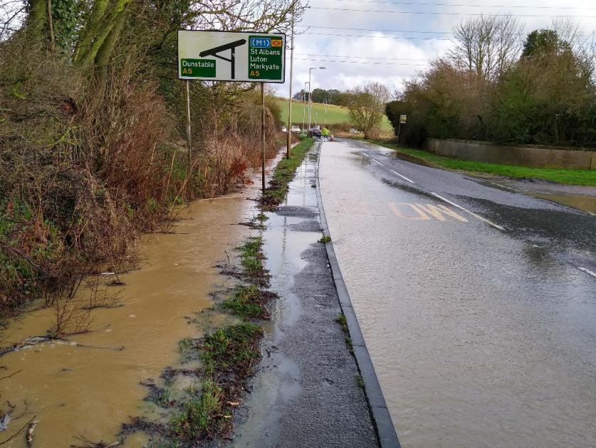
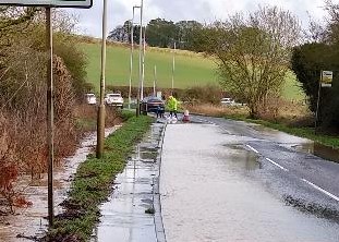
What about Storm Dennis I hear you ask! Isn’t the river overflowing its banks? Well, further downstream, south of St Albans, there is real evidence, so I understand, of surplus water. However, last Sunday in my neck of the woods ie upstream of Markyate, although it veritably tipped down with rain in places – the water was across the road coming down from Kensworth – the poor landlord from the Packhorse pub was frantically digging out ditches and putting down sandbags (see lower photo) to stop his pub flooding…
….and Buckwood Road, the valley coming down to Markyate from Whipsnade was completely awash…
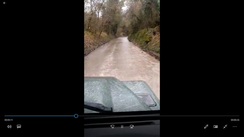
(My son gave me a brilliant video but I can’t include it as I’ve only got the free version of WordPress) ….the water never got as far as Markyate, where there was only a bit of very stationary runoff in evidence along the river course….
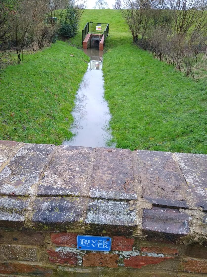
The groundwater level at the head of the valley is still well down, due to excess extraction, so a lot more rain (or less extraction of course!) is needed to offset this and create a decent flow.
If you’re interested in finding out more about the river Ver, look at the Ver Valley Society webpage https://www.riverver.co.uk/ – and join! We have workparties along the river and indoor meetings – the one I went to last night included a brilliant talk called ‘Have I got poos for you…’ – everything you ever wanted to know about mammal excreta – and loads more besides…..
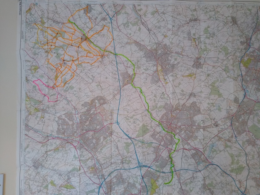
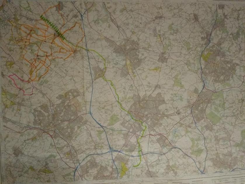
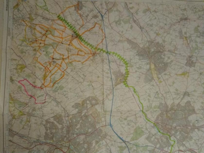
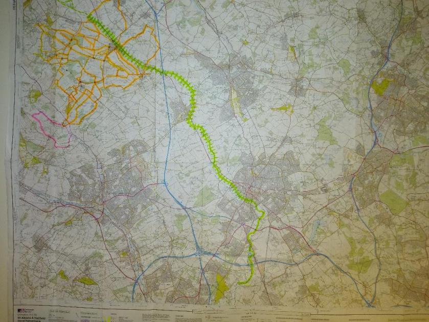
Most importantly – here’s the updated map!
Not much more to do now – only one more day’s walk – but I will have to research buses for my return trip or I might get stuck in Smug Oak….sounds pretty unsavoury to me….
For more information about the Green Challenges: https://sue6665.wordpress.com/about